|
 |
|
page: 1 | 2 | 3 | 4
|
|
|
Second week
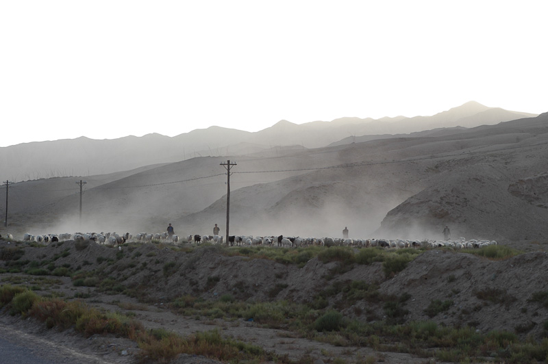
On the other side of the pass the landscape changes dramatically. The deep valleys with roaring streams and rivers are replaced by a barren high desert above 4000 m (13000 ft) where Tadshiks and Kirgis nomads make their living from tending sheep and goats. The Han Chinese we meet are members of the Red Army 7000 kms (4350 mi) away from Beijing. Tashkurgan is a typical Chinese military town with hotels, restaurants, amusement arcades and brothels. Internet access is limited to Chinese sites. Welcome to the new China.
|
|
|
|
|
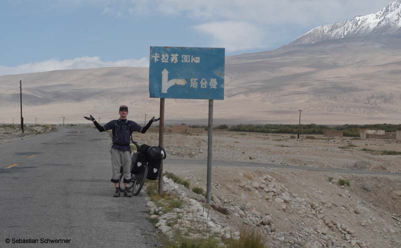
Orientation in China
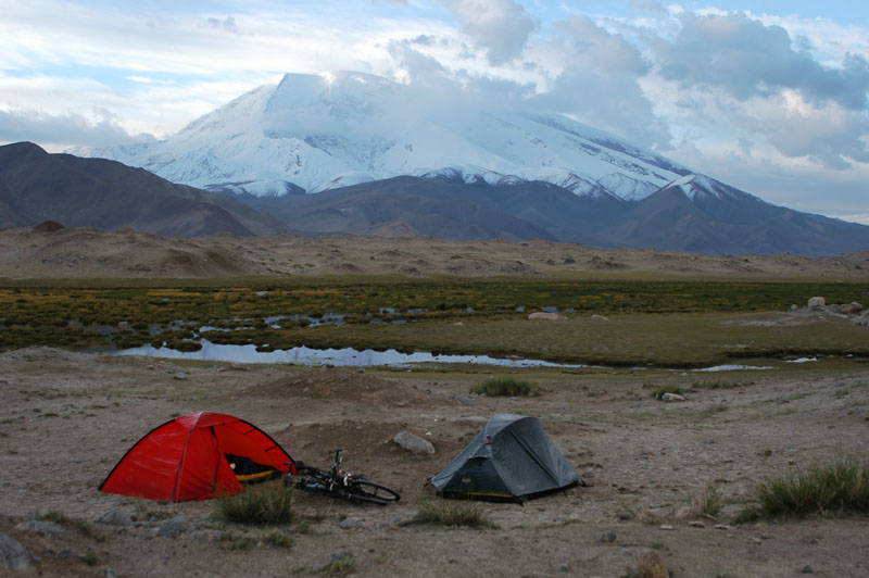
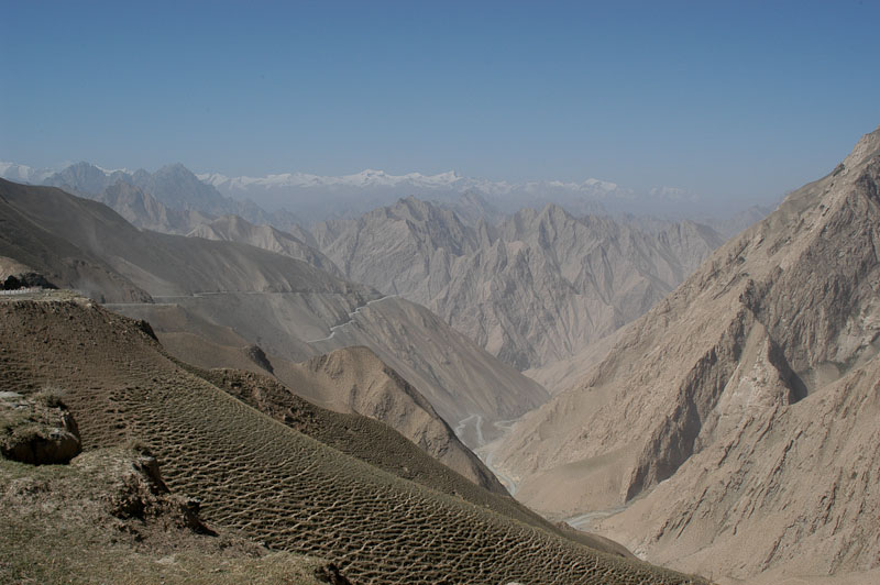
From here the road to Kashgar runs over a 4058 m (13313 ft) high pass with fantastic views of Mustagh Ata (7538 m/24730 ft) and Kongur (7782 m/25531 ft) to the Karakul lakes. At the lake shore we find a beautiful spot for our tents.
|
|
|
|
|
Karakul Lake and Mustagh Ata
After a cold night we ride from the green meadows by the lake through a fierce snow storm 2500 m (8200 ft) downhill into the Taklamakan desert. The road is well paved and there is virtually no traffic. What more can a cyclist ask for? Down on the desert floor the road follows river oases. Poplar trees offer shade and along the road Uigurs sell melons - very nice when the temperatures are above 40°C (105°F). Wherever we stop a group of locals gathers to check out the strangers and their cycling gear. They discuss the advantages of clipless pedals and Ortlieb panniers.
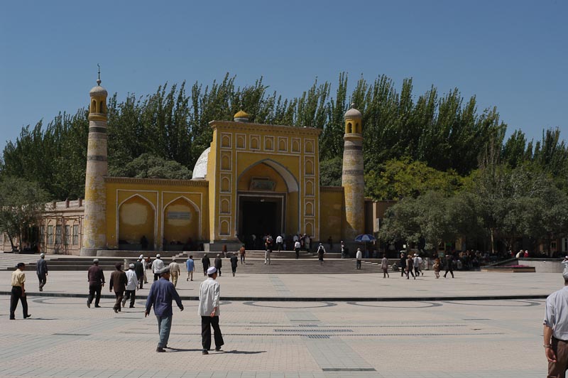
I will never forget the introduction of "eating noodle soup with chopsticks" from an old Uigur. This is no problem with agile fingers and hungry bellies. From here it is only a hot day trip to Kashgar, the ancient caravan stop on the Silk Road. At first we are greeted by the achievements of the modern China. Wide paved roads, lots of traffic, thousands of green Volkwagen Santana taxis, shopping malls und many Chinese faces on the sidewalks. The ancient Kashgar of the Uigurs, traders und Muslims is still there, but you have to look behind the white tiled facades. But first we settle in the old British Embassy, now Hotel Sherman, enjoy tasty food and use the broadband access in the hotel lobby to contact family and friends at home.
Third week
|
|
|
|
|
Prayers going to the Mosque in Kashgar on Friday afternoon
|
|
|
|
|
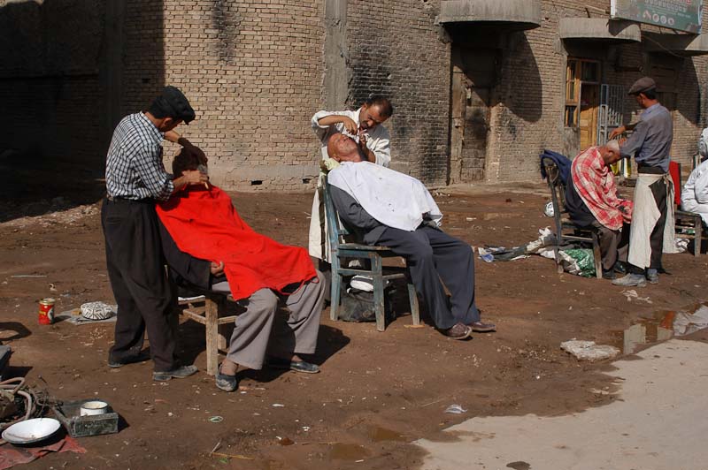
Barbers on the street
|
|
|
|
|
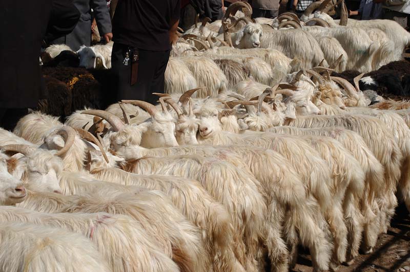
Sunday market
|
|
After five days in Kashgar and the overwhelming Sunday market we take the Southern Silk Road on the edge of the Taklamakan desert eastwards to Khargilik. Those 280 km (175 mi) are relatively flat and easy, but with a lot of traffic and temperatures above 40°C (105°F) at the end of August. We rest in the shade of poplar trees and buy melons from fruit stalls along the road. 5 km (3 mi) past Khargilik the Chinese Highway 219 starts. It will take us over 2500 km (1550 mi) across the Kunlun mountains, across the Aksai Chin plateau, many passes and the high plains of Western Tibet to Ali. From there the highway follows the trench north of the Himalaya chain, past Mt. Kailash and on sandy roads to Lhasa.
|
|
|
|
|
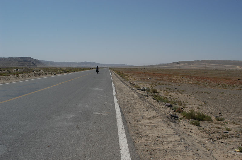
Highway 219 uphill
|
|
|
At the beginning we climb at 42°C (108°F) steadily out of the Taklamakan. There are more interesting roads on earth. After 30 km (19 mi) we rest in the shade of a small wall on the side of the road. According to our road book this is the entrance to an army camp. We are dreaming of cool drinks, fresh fruit and a swimming pool. Ten minutes later a man on a motor bike drives past and asks if we want something to eat. We follow him into the compound with disbelief. Instead of an army camp we are in a holiday resort for high party officials. The keepers are friendly and we are invited to fresh fruit, ostrich eggs and a large cool swimming pool. We share pictures from home and the road. Marital status and children are easy topics around the world. We get back to the road with our panniers well filled. In the evening a tailwind picks up from the desert and the day ends with a surprisingly high mileage.
|
|
|
|
|
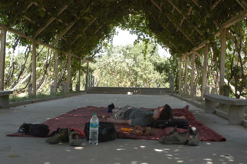
Nice rest area
|
|
|
|
|
Shepards in the Kunlun Mountains
|
|
|
In the middle of the night my stomach is revolting from one minute to the next. I dolt out of my tent and have to throw up into the desert. Oh dear, why does this have to happen at the beginning of the trip? The next morning I feel week, but I´m better off than Wolfram, who parts with the foul noodle soup one day later. Luckily this is our only gastric problem until Kathmandu.
|
|
|
|
|
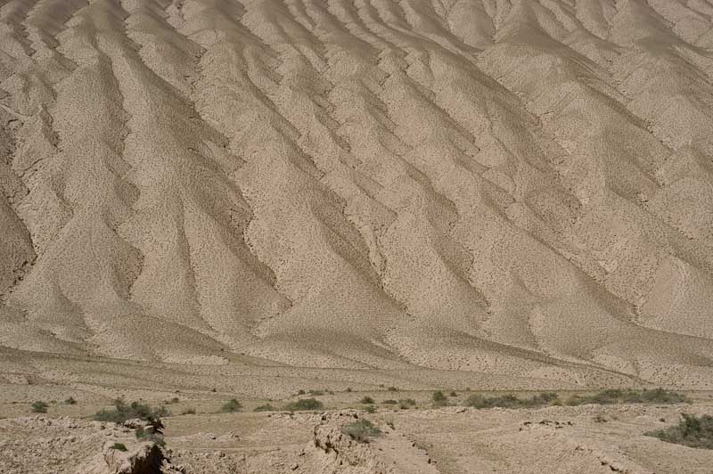
Pediments in the Kunlun Mountains
|
|
|
The next day we reach the end of tarmac. From here until Lhasa only 100 kms (62 mi) are paved. I have seen gravel roads in Africa and South America before. But Highway 219 is worse than anything I have seen. The sheer distance, the elevation gains and drops, the remoteness and the washboard surface. No slope is steeper than 10%, the limit for Chinese Dongfeng (east wind) trucks. But these trucks leave corrugation, ruts, pot holes, bottomless gravel and sandy pits.
|
|
|
|
|
Downhill from the first pass, the snow capped Karakoram in the background
|
|
|
And the road keeps climbing. On the second day we reach the first pass (3270 m/10728 ft), from here it is a wild downhill into the next valley. Kudi has an army control post. We opt for the safety of a crossing at night and walk past the lit barrier at 5 a.m. Only barking dogs seem to be up this early in the morning. After the village the road keeps climbing. We spend the night at 4100 m (13450 ft), just below the road. Trucks keep passing all night. After truck No 100 I fall asleep. In the morning we see why: the highway will be closed for one week because of road construction. During the week we have the highway to ourselves. Local traffic consists only of two to three trucks a day. Heaven for cyclists.
|
|
|
|
|
Mazar
|
|
|
On that day we climb over the first 5000 m (16400 ft) pass. I´ll never forget the wild downhill on the other side with heavily loaded bikes through deep gravel, we are doing 60 km/h (38 mph) and more. Dicovering the construction of the bridges comes as a real shock. They are made of 20 cm (8 in.) wide planks with 10 cm (4 in.) spaces between them. We spend the night in Mazar in a truck stop run by a pretty Chinese girl from Nanking. We can only speculate how she ended up in this remote and barren place. The village is marked on most maps, in reality it is a collection of 15 shacks, the road workers building and an army camp.
|
|
|
page: 1 | 2 | 3 | 4
|
|